Downscaling Remotely Sensed Data
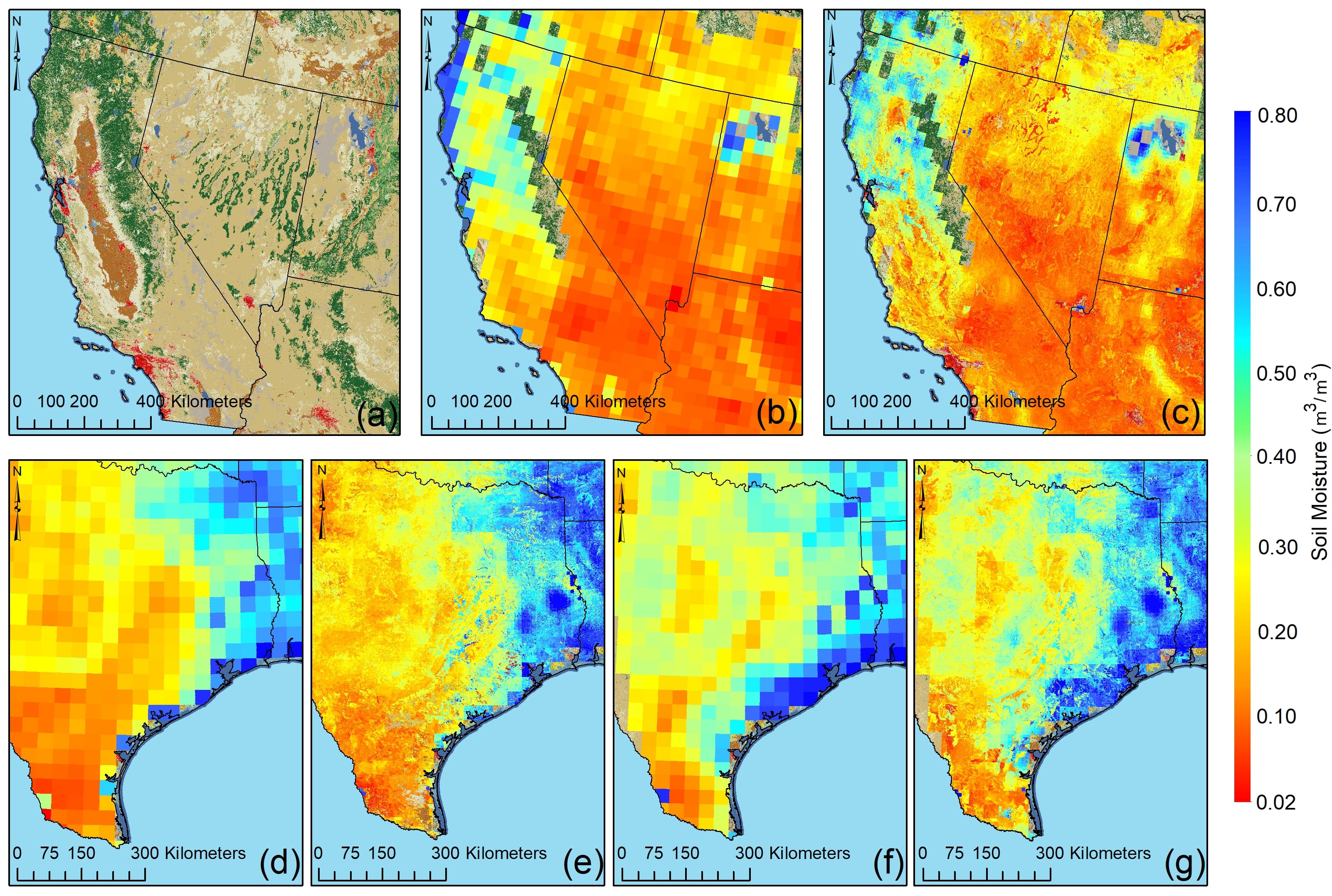
This work presents a new framework based on an ensemble learning method while using atmospheric and geophysical information derived from remote-sensing and ground-based observations to downscale the level 3 daily composite version (L3_SM_P) of SMAP radiometer soil moisture over the Continental United States at 1-km spatial resolution. In the proposed method, a suite of remotely sensed and in situ data sets are used, including soil texture and topography data among other information. Link to paper

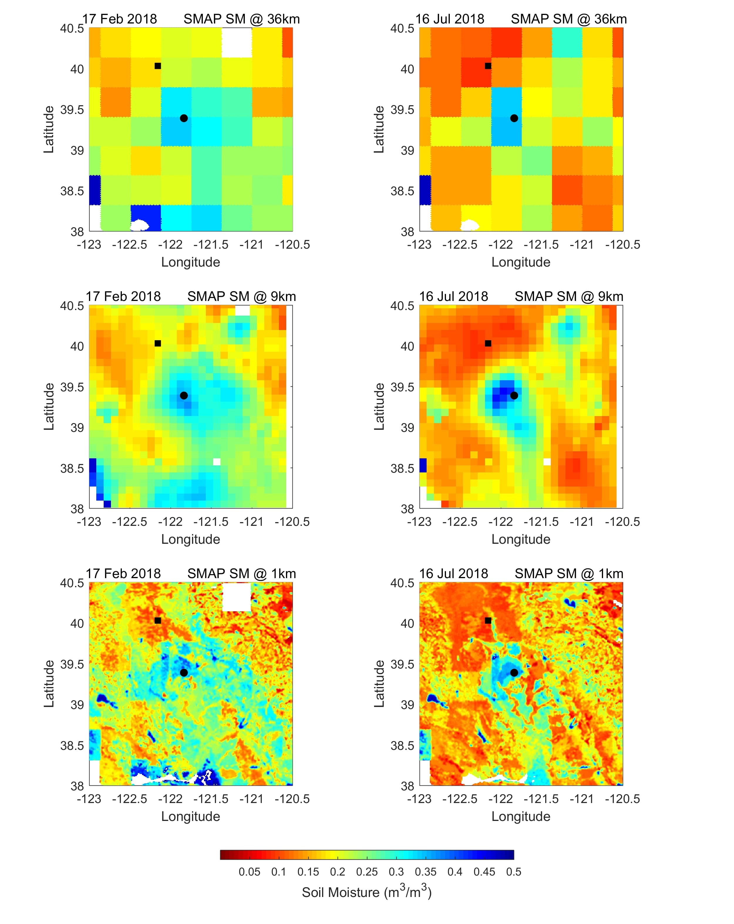
The downscaled SMAP soil moisture product was generated and released in May 2018 when the SMAP soil moisture data were only accessible on descending overpass. Recently, the original SMAP data have not only become available on both ascending and descending overpasses, but their interpolated version at 9-km spatial resolution has been developed and released to the public. Hence, we utilized these advancements to further postprocess the downscaled soil moisture dataset at 1-km spatial resolution and provide a more accurate and reliable product. We showed the usefulness of the postprocessed high-resolution soil moisture data through a comprehensive validation analysis based on in situ soil moisture networks operating across the conterminous United States (CONUS) and list the benefits of the product in several hydrometeorological applications. Link to paper
